Port St. Lucie, FL
The Port District Master Plan
Bringing the ‘Port’ Back to Port St. Lucie
status
Completed 2021
client
City of Port St. Lucie
expertise
Public Realm + Open Space
services
Master Planning Landscape Architecture

Infusion of Community, Nature, and Water
Creating opportunities for Port St. Lucie to explore nature, gather as a community, and connect with the waterfront in an authentic way.
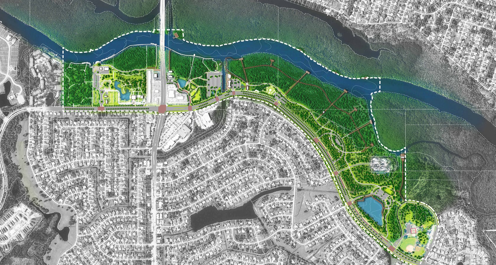
Situated on the St. Lucie River, the coastal community of Port St. Lucie experienced a wave of growth inland that detracted energy from the waterfront — leaving the community’s greatest asset underutilized. The city had a strong desire to reinvigorate the waterfront and invested in activating several, dispersed parcels with boardwalks, water access points, and neighborhood parks. Knowing these disjointed pieces were negatively contributing to a disconnected experience, the city looked to a design partner to bring a fresh perspective that would breathe life into the riverfront and create a cohesive community destination. LandDesign was selected to champion the master planning process and craft a community-supported vision for a 1.5-mile stretch of riverfront known as The Port District.
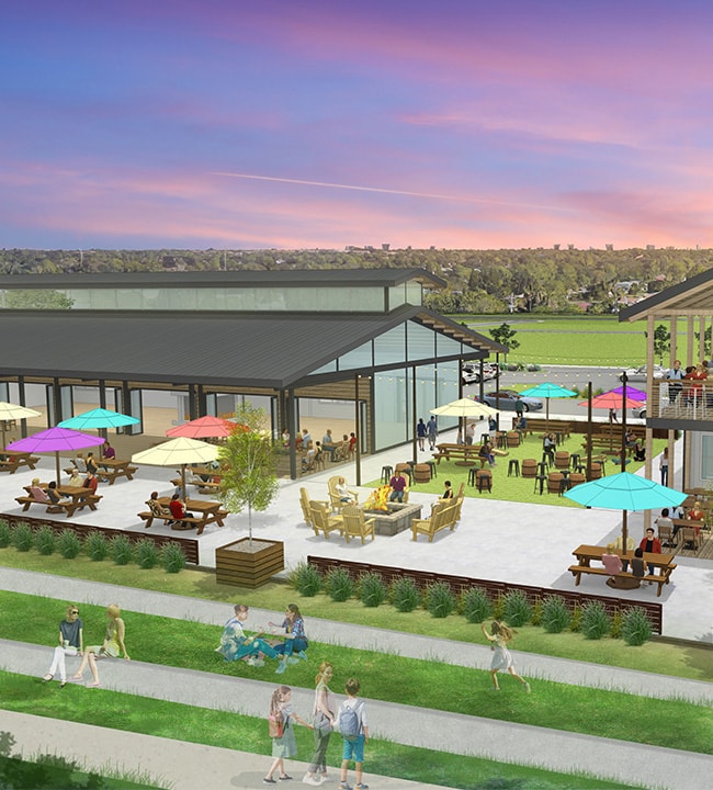
With only 10% of the study area developed, the site presented an opportunity to enhance the available land by creating unique experiences that strengthen the community’s ties to the waterfront. The master plan identifies strategic connections between developed and non-developed land within the 1.5-mile study area to improve the user experience as people explore The Port District by walking, biking, kayaking, and boating. The plan provides recommendations for new areas of commercial development, public open space, pedestrian boardwalks and trails, additional water access points, and preservation. Completed in 2021, The Port District Master Plan was unanimously approved by the city council and was embraced by the community as a significant public investment project that will reposition the St. Lucie River as the heart of this community.
National Expertise, Local Experience
LandDesigners from two offices and multiple disciplines were engaged to support the master planning of The Port District. This cross-office collaboration allowed us to leverage our national expertise in open space planning with local knowledge and bench strength to deliver a visionary plan that could be seamlessly implemented.
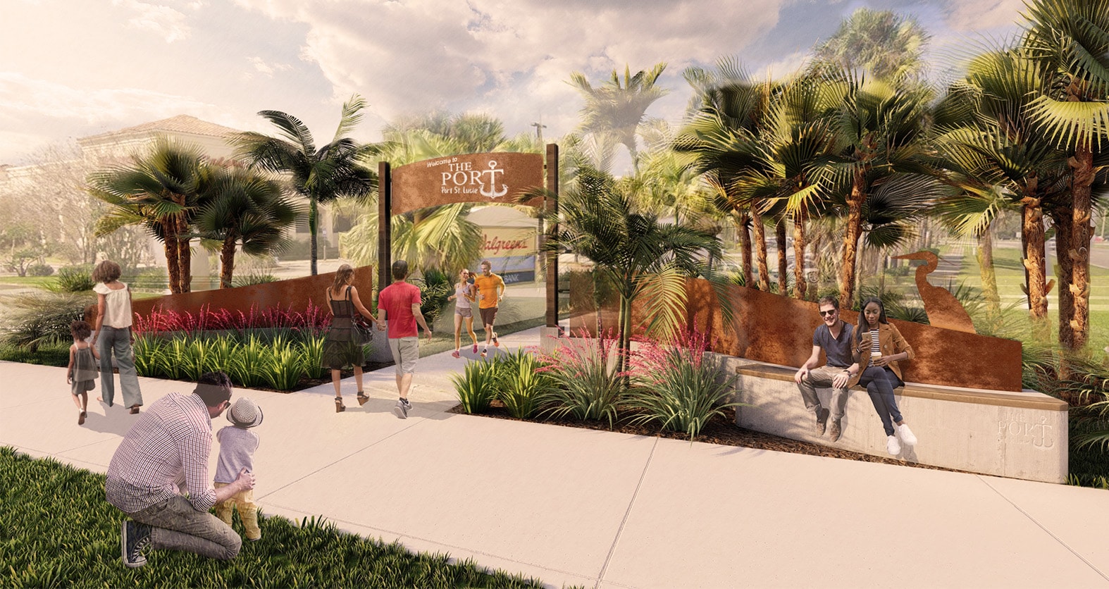
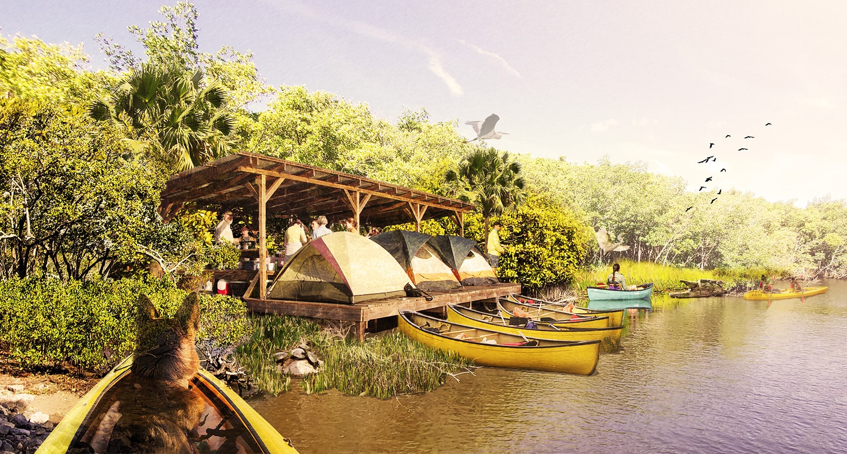
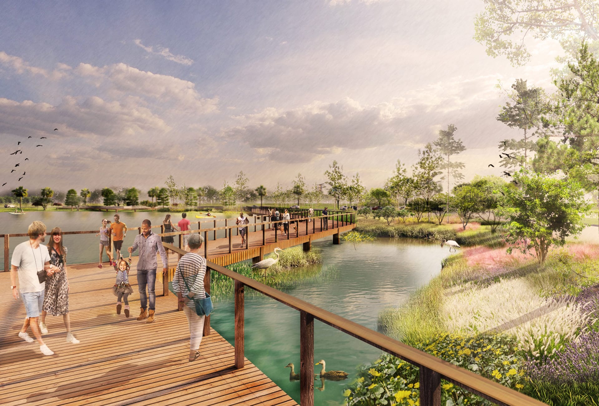
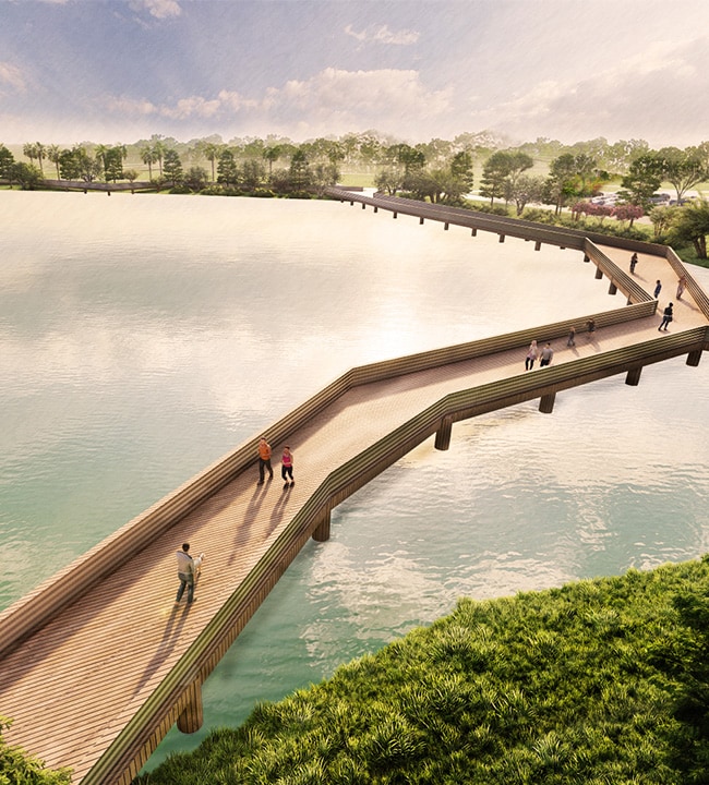
The St. Lucie River was the driving force behind the master plan for The Port District. We identified three guiding principles — Explore, Gather, and Connect — to ground programming and planning decisions in the diverse ways the community can experience nature and water. Enhancing the district’s relationship to nature began with activating the water’s edge and increasing opportunities to interact with the river through recreation. Miles of pedestrian boardwalks, protected bike lanes, and boat launches connect people to the water by foot, bike, kayak, or boat. The site’s most prominent and beloved feature — the landscape — is celebrated in the form of conservation areas, public parks, and nature-based art installations that bring the native environment to the forefront of the experience. The master plan intentionally blends these recreational amenities with retail and dining opportunities to expand spaces for gathering and community building. These signature public and private amenities support a vibrant public realm experience that allows the community to explore, gather, and connect with The Port District.
Preserving the Natural Environment
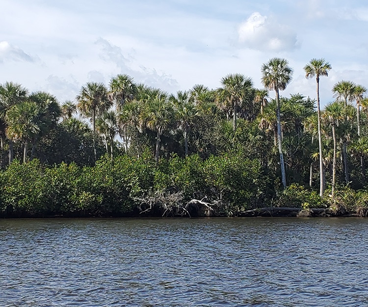
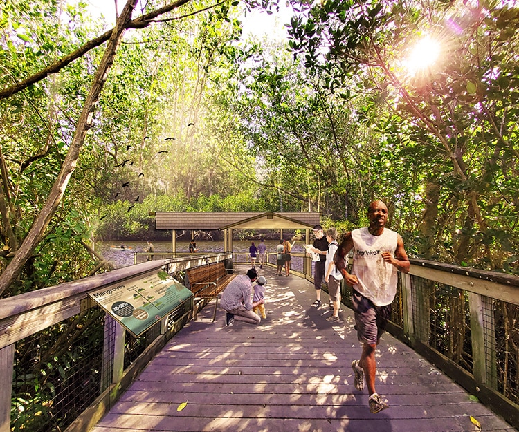
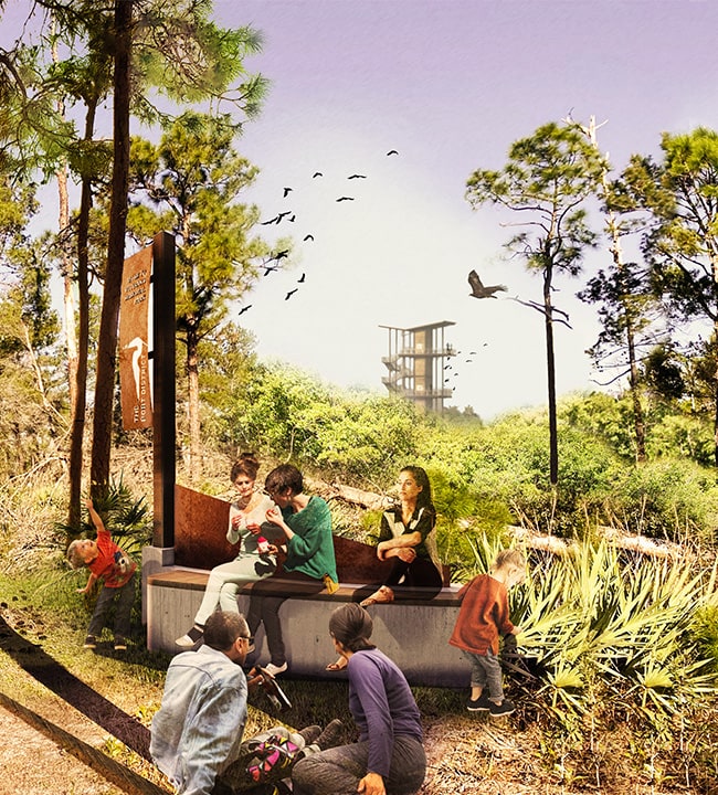
Over 70% of the study area was protected due to the risk of flooding and damaging the native wildlife. We created moments for people to safely experience the waterfront through pedestrian boardwalks and treehouses.
Layering in Education Opportunities
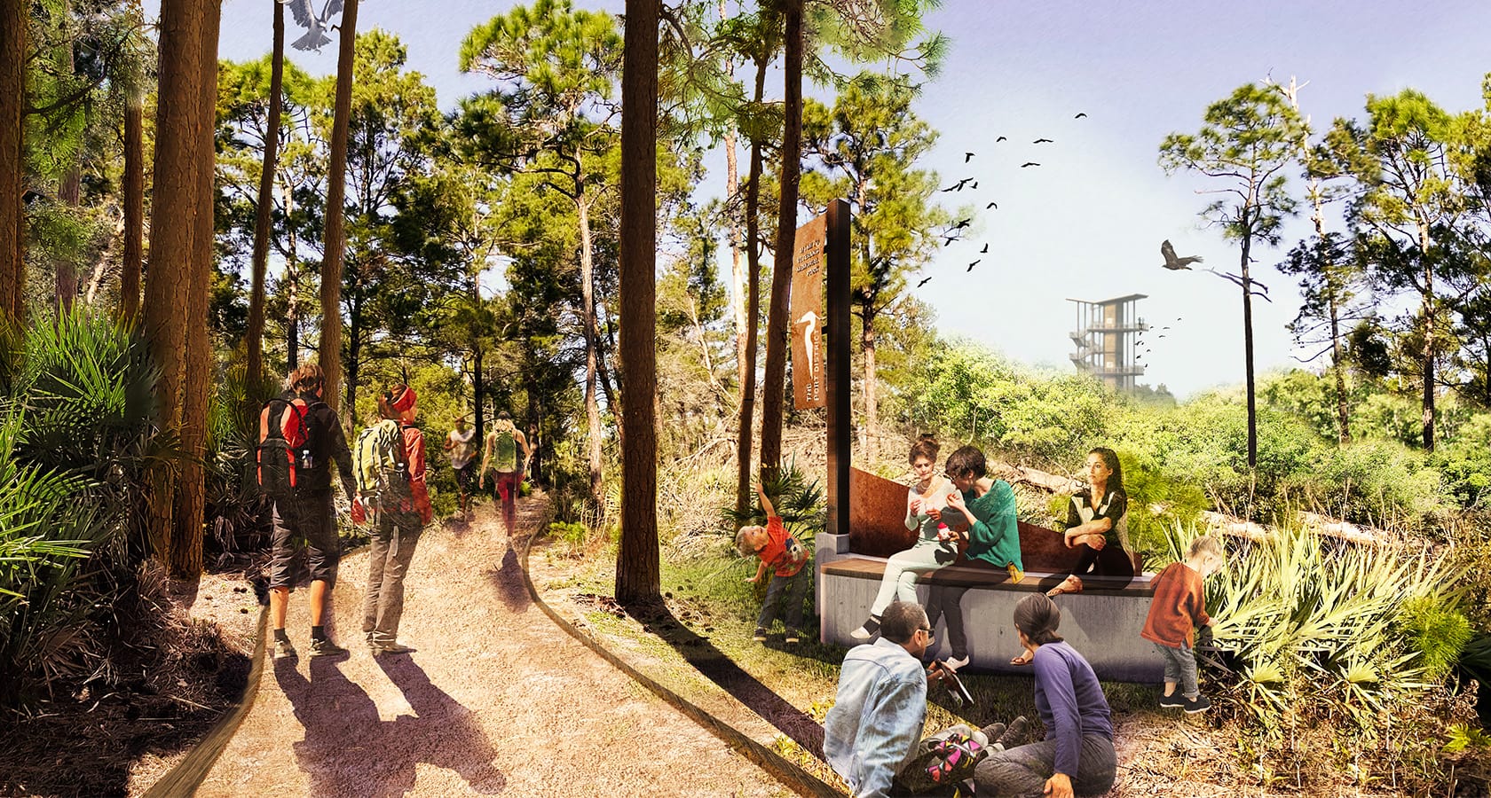
The vast conservation land and presence of federally- and state-protected species, many of which are unique to the region, present a meaningful way to culturally connect to the ecosystem. The master plan identified opportunities to embed environmental education throughout the district using signage, wayfinding, and monumentation.
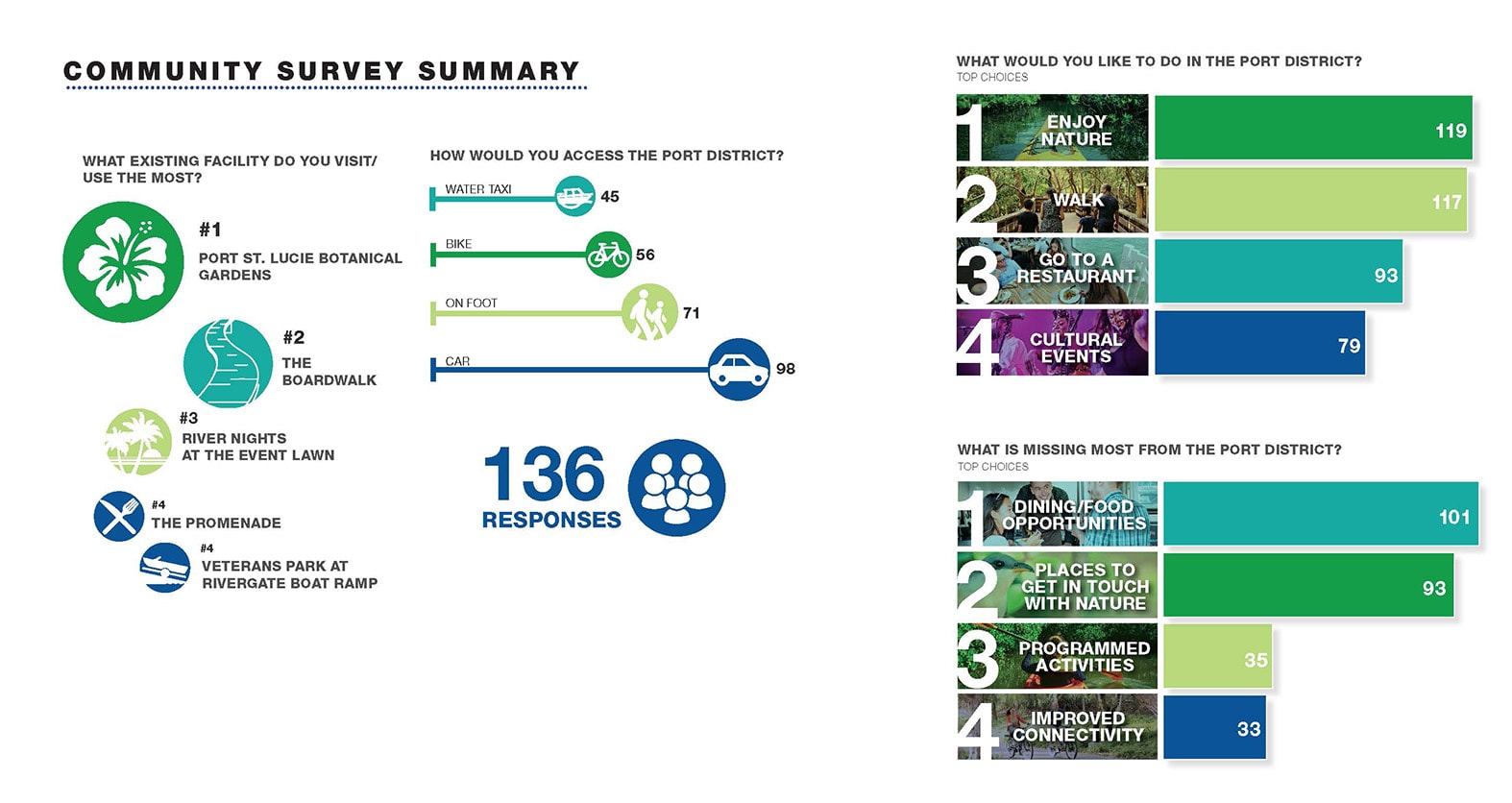
Since the project kicked-off during the pandemic, we had to rethink our approach to public outreach and the methods used to engage community members and stakeholders. While the pandemic created new limitations for in-person connection, it brought to light many inequities with traditional outreach strategies and challenged us to utilize technology in new ways to reach a broad, diverse audience. Adapting to a virtual setting for meetings and workshops allowed us to reach more members of the Port St. Lucie community. We incorporated tools like online polling to gather in-the-moment feedback that could be applied to the master plan in real time. During a virtual meeting, nearly 700 members of the community participated in an online survey, proving that our nimble approach to outreach was as interactive and engaging as if it were in person.
Physical
Transform a 1.5-mile area of disconnected waterfront into a meaningful community amenity that blends public open spaces and private development
Functional
Integrate boardwalks and treehouses to create pedestrian access to the waterfront without endangering visitors or wildlife
Social
Create a recreation and commercial destination that brings the community back to the waterfront

Physical
Transform a 1.5-mile area of disconnected waterfront into a meaningful community amenity that blends public open spaces and private development

Functional
Integrate boardwalks and treehouses to create pedestrian access to the waterfront without endangering visitors or wildlife

Social
Create a recreation and commercial destination that brings the community back to the waterfront
