Alexandria, VA
Potomac Yard
A Rehabilitated Brownfield Turned Inter-Connected Community
status
Ongoing
client
Potomac Yard Development
expertise
Master Planned Communities, Public Infrastructure, Public Realm + Open Space
services
Landscape Architecture Master Planning Land Planning


Urban Redevelopment of a Former Industrial Rail Yard
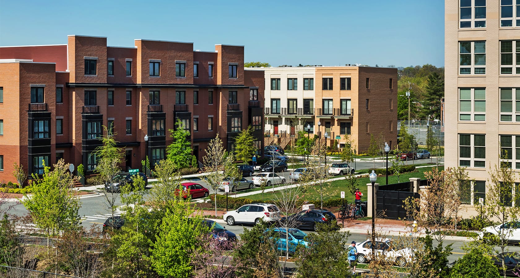
Once seen as a barrier physically disconnecting neighborhoods, Potomac Yard now hosts a multi-modal, mixed use development that bridges the Arlington and Alexandria communities.
Spanning 295 acres and straddling southeastern Arlington County and northeastern Alexandria, Virginia, Potomac Yard has been reimagined from a defunct rail yard into a multi-modal, mixed use neighborhood. Located immediately south of Ronald Reagan Washington National Airport and just a few miles from Old Town, Alexandria and Washington DC, this well-connected community offers upscale urban living.
Once one of the largest rail yards on the Eastern Seaboard, Potomac Yard’s transformation was brought about in 2005 through a partnership between national homebuilders Pulte Homes and Centex Homes, who formed Potomac Yard Development, LLC, and purchased 165 acres on the south side of Potomac Yard. Upon full build-out, the master planned development will include a town center with over two million square feet of commercial uses and up to 625 hotel rooms, and a mix of townhomes, condominiums, and apartments for a total of approximately 1,700 residential units.
LandDesign’s expertise informed numerous aspects of the project, from large-scale land planning to detailed site design. As a long-term partner, LandDesign’s project involvement includes early feasibility studies, logo and brand development, community outreach, extensive coordination with City of Alexandria staff, and the design and implementation of the streetscapes and numerous major public open spaces. The design of the site created a plan for a metro stop along WMATA’s Blue/Yellow line at Potomac Yard that will become a vital connection point to the future Amazon HQ2 headquarters and Virginia Tech Innovation Campus. LandDesign continues to remain involved as parcels within Potomac Yard are developed, including providing landscape architecture services for The Frasier multi-family project.
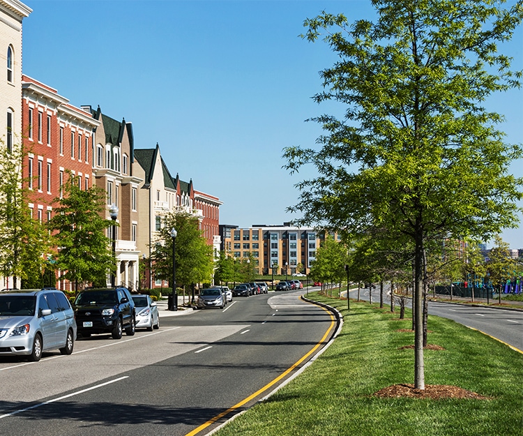
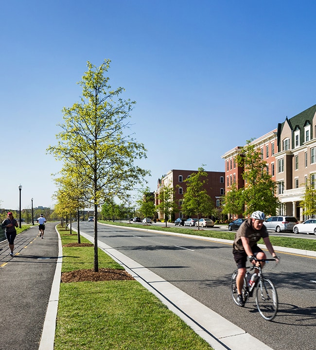
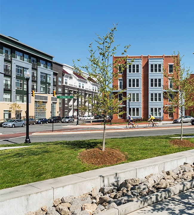
With a long history of serving as a trade and transportation corridor, the underlying vision for the Potomac Yard redevelopment was to integrate the former rail yard into the fabric of the City, improving connectivity across the surrounding neighborhoods. Through the design and arrangement of uses, streets, open spaces, and bicycle and pedestrian routes, Potomac Yard blends with and enhances the existing community character.
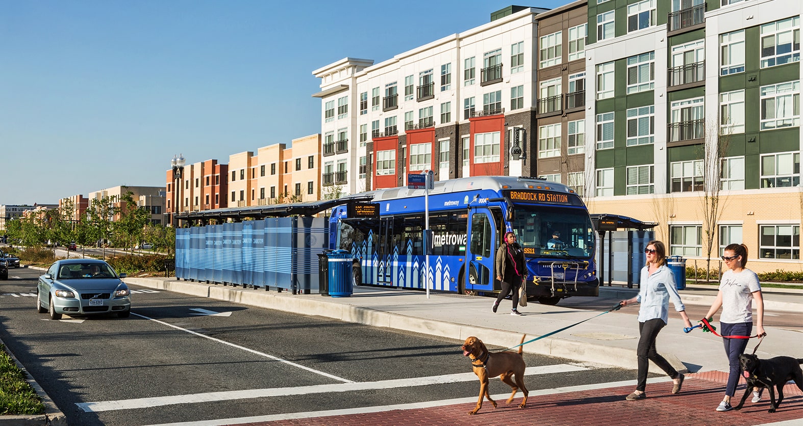
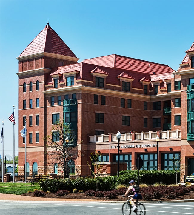
Potomac Yard provides residents of surrounding neighborhoods access to new community-serving amenities, including a 24-acre park, the City’s first new fire station in 30 years, 60+ units of City-owned affordable housing, the realignment and expansion of Route One for bus rapid transit (BRT), and the reconstruction of the Monroe Avenue Bridge, greatly improving the connectivity of the northern and southern portions of the City along the US Route 1 corridor.
The park system is a defining characteristic of the Potomac Yard community. A series of small linear parks act as east-west pedestrian connections through the development, linking the existing community across Route 1 with the regional park system to the east, called Potomac Yard Park. In addition to the east-west pedestrian network, a mid-block north-south sidewalk provides additional connectivity across the parcels within Potomac Yard.
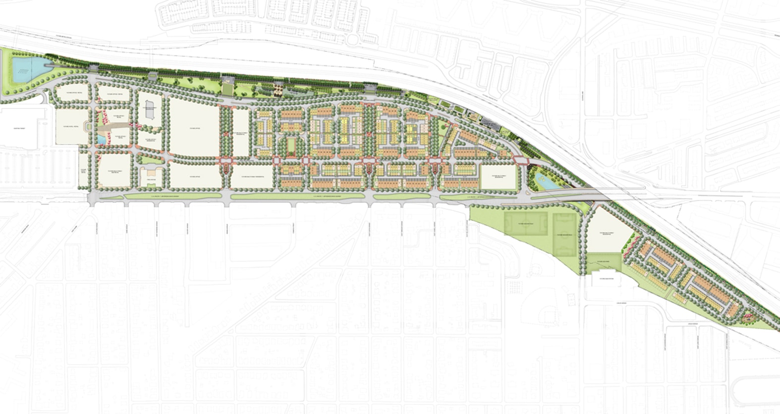
The Potomac Yard redevelopment was envisioned to connect communities across Arlington and Alexandria, however the existing physical conditions of the land greatly compromised this goal. As a linear fragment of undeveloped land, Potomac Yard had historically been a barrier to the physical integration of this portion of Alexandria. Unusually long and narrow, this uniquely shaped land-locked parcel — three miles long yet only 1,000 feet wide — made it difficult to connect the site from north to south. The physical barriers of Four Mile Run to the north, the Monroe Avenue Bridge to the south, and the active railroad corridor to the east further contribute to a fragmented site condition.
Improved Circulation
Circulation was a key consideration throughout the planning process. The project introduced a new north-south road connection, Potomac Ave, reducing traffic congestion on US Route 1, the major north-south highway that parallels the site. This project also brought about the replacement and new alignment of Monroe Avenue Bridge, improving traffic patterns and connectivity to Old Town. The development is served by the area’s only BRT line traversing Arlington and Alexandria, and is adjacent to a future planned Metrorail station, making it accessible by public transportation.
Physical
Develop an urban street network and pedestrian-scale blocks that integrate multiple modes of transportation to better connect to surrounding communities
Functional
Concentrate densities within a mixed use town center, creating a focal point for the community with highest densities of commercial uses nearest to the future Metro station
Social
Craft an identifiable brand for Potomac Yard that recalls the site’s transportation history yet blends with the surrounding established neighborhoods

Physical
Develop an urban street network and pedestrian-scale blocks that integrate multiple modes of transportation to better connect to surrounding communities

Functional
Concentrate densities within a mixed use town center, creating a focal point for the community with highest densities of commercial uses nearest to the future Metro station

Social
Craft an identifiable brand for Potomac Yard that recalls the site’s transportation history yet blends with the surrounding established neighborhoods
Memorializing History
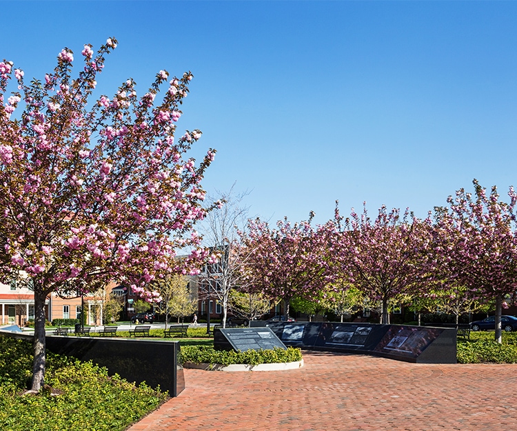
To celebrate the rich transportation history of the Potomac Yard, LandDesign designed a granite monument that tell the story of how trade and transportation has shaped the region, from foot and horse to canal boats, and later to trains and automobiles. Designed in close collaboration with the City’s archaeologists and historians, this interpretive monument adorns the community’s central neighborhood park, connecting residents to the history of the land.
Extensive City Coordination
LandDesign worked with the Department of Recreation, Parks and Cultural Activities during the design process to ensure the proposed program met the City’s landscape guidelines and design standards. This early coordination was crucial to ensuring the proper long-term maintenance of these public spaces.

